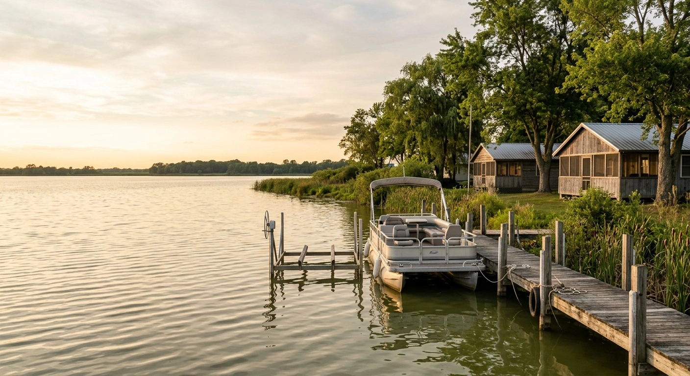
The Buckeye Lake history timeline begins with an Ohio wetland and continues through canal, amusement park and state park eras. Ohio started impounding the wetland in 1826 to supply water to the Licking Summit of the Ohio and Erie Canal. Recreation later became central to the lake’s identity.
Over the next century, the reservoir developed into a picnic destination, entertainment center and cottage community. In 1949, it joined Ohio’s new state park system. Today, the roughly 3,100-acre lake crosses parts of Licking, Fairfield and Perry counties. Its shoreline extends about 35 miles and includes roughly two dozen small islands.
The lake’s story also includes Cranberry Bog, a rare floating peat island created by the original impoundment. More recent chapters include the amusement park’s decline and the dam replacement project that began in 2015. Together, these events explain much of what visitors see around the modern shoreline.
Buckeye Lake History Timeline at a Glance
Buckeye Lake has changed names, purposes and physical form several times in less than three centuries. Christopher Gist’s 1751 account describes the Great Swamp before Ohio raised the water level. The canal project transformed that wetland into a reservoir, while changing transportation patterns later encouraged recreation.
Ohio adopted the name Buckeye Lake in 1894 as the reservoir developed a new public identity. The amusement park reached its cultural peak during the big-band era before closing in 1970. This condensed Buckeye Lake history timeline provides context for the fuller story below.
| Period | What happened | Why it matters |
|---|---|---|
| Before European settlement | Indigenous peoples used the broad wetland long before written local records. | The modern lake began as marsh and swamp rather than open recreational water. |
| 1751 | Christopher Gist recorded the area as the Great Swamp. | His account offers an early English-language description of the landscape before impoundment. |
| Beginning in 1826 | Ohio impounded the wetland as a feeder reservoir for the Licking Summit of the Ohio and Erie Canal. | The new reservoir supplied water to the canal’s highest local section. |
| Late 1800s | Canal traffic declined as rail and road access encouraged recreation. | Fishing, boating, picnics and lakeside development began replacing the lake’s original industrial purpose. |
| 1894 | Ohio renamed the reservoir Buckeye Lake. | The name reflected its growing identity as a recreation destination. |
| 1940s and 1950s | Buckeye Lake Amusement Park attracted large crowds and nationally known big-band performers. | This period became the lake’s best-known entertainment era. |
| 1949 | The newly formed Ohio Department of Natural Resources added Buckeye Lake to the state park system. | The change established the lake’s modern public recreation role. |
| 1968 | Federal officials designated Cranberry Bog as a National Natural Landmark. | The designation recognized a rare floating bog associated with the reservoir’s creation. |
| 1970 | Buckeye Lake Amusement Park closed. | The closure ended the large-scale amusement era, although boating and cottage life continued. |
| 2015 and after | State engineers identified severe risks at the old earthen dam and began a replacement project. | Low water disrupted boating and local business until Ohio restored normal seasonal lake levels. |
| Today | Buckeye Lake supports boating, fishing, state park access and year-round communities. | Its canal, recreation and conservation histories remain visible around the shoreline. |
Before the Reservoir: The Great Swamp
Before an open lake covered the area, this low section of central Ohio contained marshes, shallow pools and dense vegetation. Indigenous peoples knew and used the landscape long before European surveyors and settlers left written accounts. Christopher Gist did not discover the area, but his 1751 journal provides an early surviving English-language description.
Gist called the area the Great Swamp, a practical name for difficult, saturated ground. Water moved slowly through reeds, peat and shallow pools instead of forming one broad lake. The wetland occupied a natural low point near the future summit of the Ohio and Erie Canal system.
This geography helps explain why Buckeye Lake remains shallow and often appears green-brown or turbid. It also accounts for the marsh habitat and the unusual origin of Cranberry Bog. A state engineering project, rather than a natural flood, created the defining landscape change.
1826: Ohio Builds a Canal Reservoir
In 1826, Ohio began impounding the Great Swamp. The state needed a feeder reservoir for the Licking Summit of the Ohio and Erie Canal. This high section of the route required a dependable water supply for its channel and locks.
Workers built an earthen embankment and installed water-control structures. These features held back water and raised the level across much of the former wetland. The reservoir served as transportation infrastructure, not as a destination for boating or waterfront views.
Higher water covered much of the marsh, while higher patches of ground remained as islands and irregular shoreline. Canal-era travelers understood the reservoir as part of a transportation network connecting Ohio farms, towns and markets. The reservoir fed water into the canal rather than functioning as a widened section of it.
That distinction explains the lake’s location, shallow depth and unusual shape. Canal commerce eventually faded, but the state-created body of water remained. Recreation then gave the old reservoir a new purpose.
From Working Reservoir to Lake Getaway
By the late 1800s, railroads offered a faster and more flexible alternative to canals. As the reservoir’s transportation role declined, its recreational value grew. Visitors from Columbus, Newark, Lancaster and nearby communities came to fish, boat, picnic and escape summer heat.
Cottages, gathering places and commercial entertainment followed the visitors. These developments created an early version of the day-trip pattern that still shapes Buckeye Lake. In 1894, Ohio renamed the reservoir Buckeye Lake.
The new name reflected the public shift from canal utility to leisure destination. Rail connections made the lake accessible before most Ohio families owned cars. Later, expanding roads brought more visitors and encouraged development around the shore.
The surrounding communities did not follow a single resort plan. Modest cottages, docks, commercial strips and working waterfront uses grew side by side. That irregular pattern remains part of the lake’s character.
The Amusement Park and Big-Band Years
Buckeye Lake Amusement Park grew from the lake’s late-19th-century recreation trade. It eventually became a major entertainment destination in central Ohio. Visitors came for rides, dancing, lake excursions and the social scene.
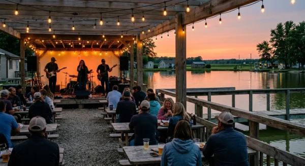
During the 1940s and 1950s, nationally known big-band acts performed at the park. Their appearances attracted large crowds from across the region. For many Ohio families, those nights defined historic Buckeye Lake.
The park benefited from the lake’s location near Columbus, Newark and Lancaster. Cars gradually replaced rail service and changed how visitors reached the shoreline. They also encouraged development beyond the old transportation corridors.
New entertainment options eventually competed for the park’s audience. Buckeye Lake Amusement Park closed in 1970, ending an era that had outlasted the canal system. Few park structures remain, so visitors should not expect to find a preserved amusement district.
1949 and the Beginning of Buckeye Lake State Park
Buckeye Lake joined the Ohio state park system in 1949. That same year, Ohio created the Department of Natural Resources. State park status recognized the lake’s value for recreation, wildlife habitat and public shoreline access.
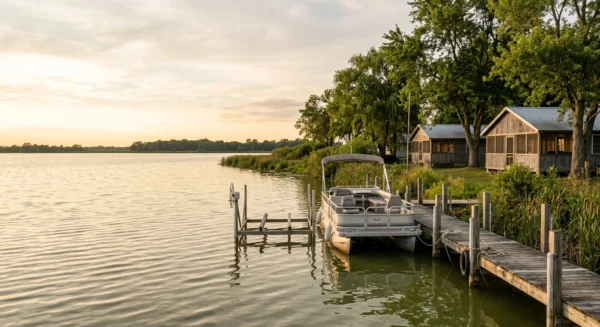
Buckeye Lake State Park differs from parks organized around a main gate, visitor center or central trail system. Instead, it extends around an inhabited shoreline. Public ramps and access areas sit among homes, roads and local businesses.
Boating and fishing form the core of park use. Anglers target saugeye, crappie, largemouth bass, bluegill and channel catfish. Pontoons, runabouts and bass boats share the open water.
Most anglers need a current Ohio fishing license, while boaters must follow state registration and safety rules. Ohio allows unlimited horsepower on Buckeye Lake, so summer weekends can become busy. Visitors should also check current ODNR and Ohio EPA harmful algal bloom advisories before entering the water.
Cranberry Bog: A Rare Result of Impoundment
Cranberry Bog State Nature Preserve resulted from the reservoir project. As the water rose, it lifted a mat of sphagnum peat from the former wetland floor. The floating mat survived as a bog island within the lake.
ODNR describes Cranberry Bog as the world’s only known floating bog island. It supports plants and ecological conditions rarely found in this part of Ohio. Its location within a heavily used recreational lake makes it particularly unusual.
Federal officials designated the site a National Natural Landmark in 1968. However, that status does not make Cranberry Bog a conventional public park. The fragile island continues to shrink and normally remains closed to visitors.
Access requires permission from the ODNR Division of Natural Areas and Preserves. Visitors must follow all restrictions attached to that permission. Boaters cannot simply land on the island and explore it independently.
2015: The Dam Crisis and Replacement
The modern dam chapter began in 2015. State engineers identified the old earthen dam as a severe safety risk. Homes, roads and businesses stood close to the structure, which made the problem more serious than routine maintenance.
Ohio held Buckeye Lake at a low level while crews planned and built a replacement. The drawdown restricted boating, left many docks above the water and changed the shoreline’s appearance. Those conditions continued for several years.
The project caused real economic damage for businesses and residents who depended on lake traffic. Any account of the replacement should acknowledge that disruption. At the same time, state officials could not responsibly ignore the dam’s safety problems.
Ohio eventually completed the replacement and restored normal seasonal lake levels. Current visitors should not expect the prolonged drawdown shown in older photographs and news reports. However, local residents still remember how strongly the project affected the community.
How to Visit Buckeye Lake’s Historic Shoreline
Buckeye Lake does not have a single historic campus that presents each era in order. Visitors can understand the landscape better by exploring several shoreline areas. Each section reveals a different combination of public access, residential development and open water.
From Interstate 70, Ohio State Route 79 provides a direct approach to the village of Buckeye Lake. It also reaches the north side of the state park. Other public access points serve communities around the southern and western shoreline.
Public boat access includes the North Shore ramp in the village of Buckeye Lake. Liebs Island in Millersport and Fairfield Beach also have launch facilities. Parking areas can fill quickly during good boating weather, especially on summer weekends.
Ohio does not charge general admission for state park day use. However, visitors should confirm current launch requirements and make sure their boats carry proper registration. Weekday mornings and the spring or fall shoulder seasons usually offer quieter conditions.
- Location: About 30 miles east of Columbus across parts of Licking, Fairfield and Perry counties.
- Main approach: Use Interstate 70 and Ohio State Route 79 for the village of Buckeye Lake and the north shore.
- Best time: Visit on a weekday morning in late spring, early summer or September for lighter boat traffic.
- Planning tip: Choose a public ramp or shoreline area before leaving home because the park has no single main entrance.
Reading Buckeye Lake’s Past in the Present
The lake itself provides the clearest evidence of Buckeye Lake’s history. Its shallow water, marshy edges and low islands resulted from the impoundment of the Great Swamp. Cottages, docks, commercial areas and public ramps reflect more than a century of recreation.
The amusement park has disappeared, but the day-trip tradition continues. People still drive from Columbus, Newark and Lancaster for an afternoon on the water. State park status maintains public access, while Cranberry Bog protects a rare ecological remnant.
The dam replacement added a difficult modern chapter. It showed how 19th-century infrastructure can affect a 21st-century community. Today, Buckeye Lake remains an active boating lake surrounded by villages where history and daily life share the shoreline.
The Buckeye Lake history timeline connects those visible features to the wetland, canal and recreation eras that shaped them. Knowing that history gives visitors a clearer view of the lake they see today.